Capital Power Multimedia Limited

Drone

Drone Mapping/Aerial Photogrammetry Services in Nigeria

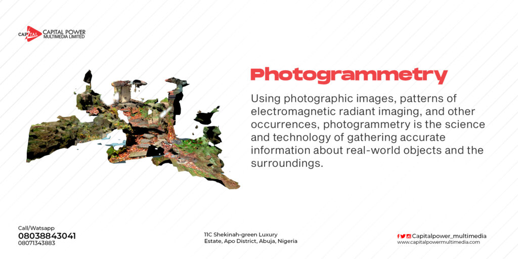
    While aerial photography can be used to take nice overhead images and get a general sense of an area, it lacks the precision necessary for most surveying jobs and doesn’t show topography. For that, you’ll need photogrammetry. Photogrammetry involves taking multiple images of a feature and using them to create digitized high-resolution 2D …

Drone Mapping/Aerial Photogrammetry Services in Nigeria Read More »

DRONE SERVICES

If you are looking for a drone service company or even considering using drones, we are here to give you a cinematographic experience. Our team of highly trained drone experts delivers services anywhere in Nigeria, with specialization for virtually any project. We also train interested parties how to fly drone for aerial photography/videography or how …

DRONE SERVICES Read More »

Drone Mapping, Monitoring and Surveillance in Nigeria

Drone Mapping is done using a technique called Photogrammetry. some of the applications of drone mapping includes Land surveying. Cadastral maps. Topographical surveys. Precise measurements. Land management and development. Urban planning. Drone Surveillance refers to the act of keeping a visual track of an individual, a group, objects, or a situation for the purpose of thwarting …

Drone Mapping, Monitoring and Surveillance in Nigeria Read More »

Drone End User Certificate Application in Nigeria

For all our clients calling from within and outside Nigeria for clarifications on how they can obtain an end user certificate  to bring in a drone into Nigeria for both part time projects and professional use. i will try to address your questions here i am a drone expert based in Abuja Nigeria that offer …

Drone End User Certificate Application in Nigeria Read More »

Scroll to Top
Open chat
1
Scan the code
Hello
Can we help you?