
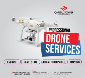
Drone Mapping is done using a technique called Photogrammetry. some of the applications of drone mapping includes
- Land surveying.
- Cadastral maps.
- Topographical surveys.
- Precise measurements.
- Land management and development.
- Urban planning.
Drone Surveillance refers to the act of keeping a visual track of an individual, a group, objects, or a situation for the purpose of thwarting any kind of threat.
Applications of drone surveillance include
- law enforcement,
- private investigation,
- spying,
- disaster recovery,
- search and rescue,
- drone journalism,
- photography,
- Lidar surveys
- military reconnaissance.
Drone Monitoring is the usage of drones, UAVs or Unmanned Aerial Systems (UAS) for
- agricultural cropping,
- monitoring plants,
- pests control
- forest and environmental monitoring
- wildlife monitoring
- hospital ICU monitoring
- cattle monitoring in forests
In Capital Power Multimedia, we render these services using drone mapping softwares like PIX4D and Drone Deploy while we use DJI Phantom 4 pro 2.0 RTK. we also train individuals and organizations.
For Enquiries:
Call/WhatsApp: +234-803-884-3041
Email: info@capitalpowermultimedia.com