

While aerial photography can be used to take nice overhead images and get a general sense of an area, it lacks the precision necessary for most surveying jobs and doesn’t show topography. For that, you’ll need photogrammetry.
Photogrammetry involves taking multiple images of a feature and using them to create digitized high-resolution 2D or 3D models from which accurate measurements can be deduced. Depending on the scope of the project, a model made with photogrammetry may require anywhere from a couple hundred to several thousand separate images.

The process involves equipping drones with high resolution cameras, heavy tripod, geo-location sensors, infrared sensors and many more to capture precise details about the environmental and physical site prior to and during construction. The high-resolution images captured by a drone are then turned into accurate 2D orthophotos and 3D models, creating a rich digital representation of your jobsite. Then, drone data platforms like 3DR Site Scan make it easy to overlay design files onto drone maps, enabling you to pinpoint constructability challenges in preconstruction, spot mistakes, and measure progress during construction.
Capital Power Multimedia are in the forefront of Drone Mapping/Photogrammetry in Nigeria.
we have worked for both local and international clients and we have setup all equipment and manpower to deliver on your mapping needs.

Best Drone Mapping Softwares
1. DroneDeploy
DroneDeploy is a user-friendly, cloud-based software that lets you capture, process, and analyze data all in one platform. You can create high-resolution 2D and 3D interior and exterior maps and models that are accurate to between 1 and 5cm.
It’s designed for individuals, teams, or enterprises and is ideal for all use cases and industries. However, DroneDeploy’s primary markets include agriculture, construction, mining, energy, roofing, and inspection.
What sets DroneDeploy apart is its unique features, which include:
- Mobile Flight App – Fly and capture images directly from your iOS or Android device.
- Live Map – Create real-time, sharable 2D maps as you fly.
- Autonomous Flight – Preprogram your route and let the AI do the rest.
- 360 Walkthrough – Take a 360-degree, virtual tour through a 3D model of your entire site.
There are also a number of industry-specific features, such as Plant Health that helps farmers measure crop health and viability.
DroneDeploy offers a 14-day free trial, and it works with dozens of third-party apps, including Procore, Autodesk Construction Cloud, Airmap, and Agremo.
2. Pix4D
Pix4D is the only fully-hybrid drone mapping and photogrammetry software on the market, with mobile flight, desktop, and cloud-based platforms. It gives you survey-grade accuracy down to less than 1cm.
It provides industry-specific applications for mapping and surveying, construction, agriculture, telecom, public safety, mining, inspection, and manufacturing and integration. It also offers a variety of data capture applications and data capture devices.
Pix4D isn’t cheap, but it provides some of the best versatility and high-quality maps and photo-realistic 3D textured mesh images on the market.
3. SimActive
Correlator3D is SimActive’s patented high-end photogrammetry software that is not only used from drones, but also from airplanes and satellites. It’s designed to work with any type of UAV platform, camera, and sensor. However, it is currently only available for Windows computers.
This tool gives you the ability to create an unlimited number of high-resolution, survey-quality images (and reports) and process them faster than with most UAV software.
It’s designed for large projects in surveying, construction, agriculture, mining, forestry, and emergency response, and has been put to use in a number of scenarios, including agricultural resource monitoring and natural disaster damage assessment.
SimActive offers optional data processing as a service. If you provide geotagged images and projections, SimActive’s professionals will turn them into DSM, DTM, orthomosaic maps, textured mesh 3D models, and survey-quality reports.
4. Propeller
Propeller is a turnkey solution that easily integrates into the workflow for earth-moving industries such as mining, construction, and waste management. It’s designed to make the drone survey and analysis process more efficient so survey teams and field crews can collaborate more effectively, visualize changes in 3D, and track progress.
Propeller’s supported PPK drones, then fly and capture your high-quality imagery, with accuracy down to 1/10 of a foot. Once you’ve captured your images, you can easily drag and drop them into the software. Propeller’s experts will process the images for you and return survey-level reports and maps within 24 hours.
Propeller also offers various ground control points (AeroPoints and DirtMates) to help provide more precision and accuracy to your data collection.
You can have an unlimited number of users with one Propeller account, and you can share maps to field crews via Propeller’s mobile app.
5. Maps Made Easy
If you’re new to professional drone piloting and are looking for an inexpensive way to create orthophoto maps and 3D models, Maps Made Easy is for you.
It’s a web-based application that gives you the option to subscribe or pay-as-you-go. It also offers a free plan with unlimited map processing for up to 1 gigapixel and access to its Map Pilot Pro companion app on up to 4 devices. (Map Pilot Pro is only available for iOS.)
Maps Made Easy is just that: easy. It lets you capture high-quality imagery with relative accuracy within 1%. And the fact that Maps Made Easy will process your images for you and turn them into textured 3D models, point clouds, colorized DEMs, and more means there’s little effort on your part to get professional-quality maps and models.
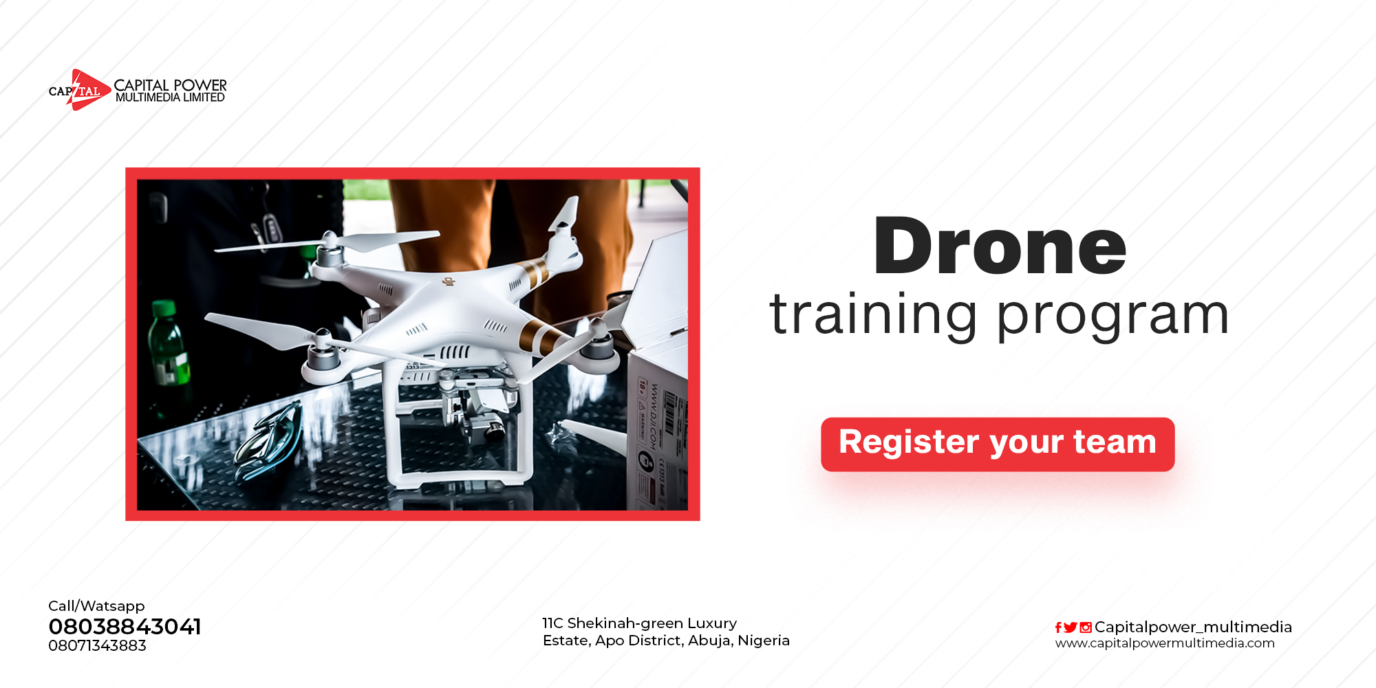
To register for training or request for quote for drone services please contact us
Name: Capital Power Multimedia Ltd
Call/WhatsApp: 08038843041
Email: info@capitalpowermultimedia.com