Capital Power Multimedia Limited

Drone Mapping

Capital Power Multimedia’s Drone Surveillance Framework

Introduction Capital Power Multimedia has developed a comprehensive drone surveillance framework that leverages cutting-edge technology to provide real-time video feeds from frontline locations. This framework enhances security agencies’ capabilities by offering crucial insights into movements, threats, and potential risks. 2. Key Components a. Perimeter Monitoring The framework includes strategically positioned drones equipped with high-resolution cameras. […]

Capital Power Multimedia’s Drone Surveillance Framework Read More »

How Do Military Drones Work?

There have been a series of military strikes in Nigeria that have had a significant impact on remote frontline communities, with the most recent being the misfire in Kaduna. As a physicist and experienced drone operator, I would like to educate those interested in understanding how drones work. Drones are primarily operated using GPS sensors,

How Do Military Drones Work? Read More »

Drone Mapping/Aerial Photogrammetry Services in Nigeria

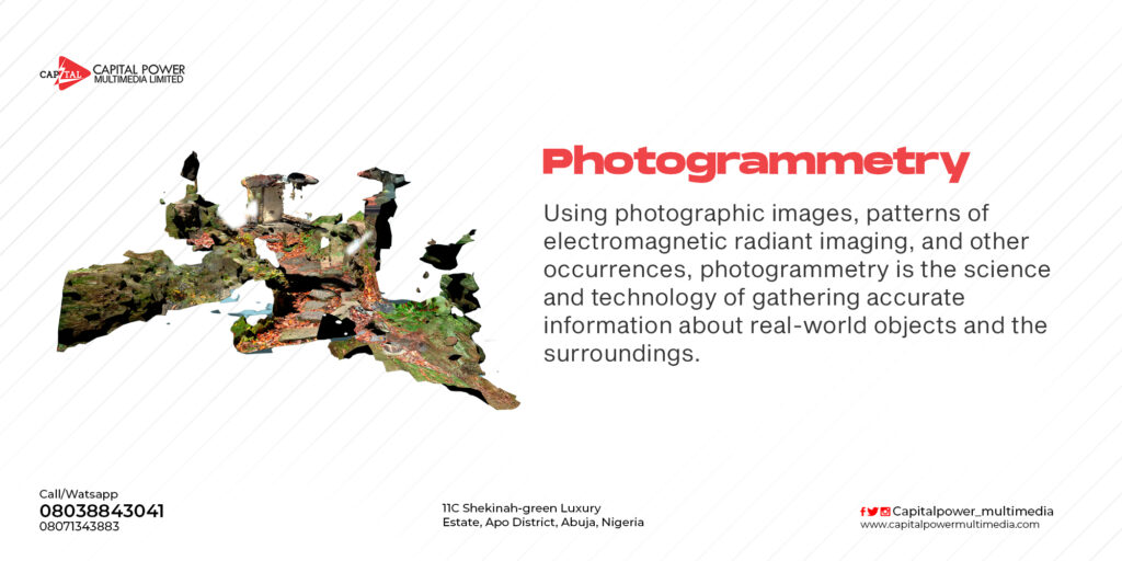
    While aerial photography can be used to take nice overhead images and get a general sense of an area, it lacks the precision necessary for most surveying jobs and doesn’t show topography. For that, you’ll need photogrammetry. Photogrammetry involves taking multiple images of a feature and using them to create digitized high-resolution 2D

Drone Mapping/Aerial Photogrammetry Services in Nigeria Read More »

Scroll to Top
Open chat
1
Scan the code
Hello
Can we help you?